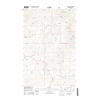
2014 Map of White Mud Lake
USGS Topo · Published 2014About this map
Pinkney City and the northern outskirts of Colville anchor this 2014 survey of the Selkirk Mountains foothills in Stevens County. The landscape is defined by the transition from the fertile valley floors of Garrison Flat and Church Flat to the rising elevations of the Colville National Forest. The map documents a rural network of community centers and family-named terrain, including the Fort Colville Grange and White Lake Grange, alongside geographic landmarks like Old Town Mtn and Old Dominion Mtn.
Find a feature on this map
62 named features on this map. Tap any name to fly to it.
Don’t see what you’re looking for? This feature index may not catch every label — zoom into the map to look around manually.
Map Details
Editions of this 2014 White Mud Lake Map
This is the sole edition of this map. No revisions or reprints were ever made.
Other maps of this area

1927 · Chewelah
USGS Topo · 1:125,000

1929 · Colville
USGS Topo · 1:125,000

1930 · Chewelah
USGS Topo · 1:125,000

1933 · Colville
USGS Topo · 1:125,000

1952 · Gillette Mtn
USGS Topo · 1:24,000

1952 · Echo Valley
USGS Topo · 1:24,000

1952 · White Mud Lake
USGS Topo · 1:24,000

1952 · Aladdin
USGS Topo · 1:24,000

1952 · Colville
USGS Topo · 1:24,000

1958 · Sandpoint
USGS Topo · 1:250,000