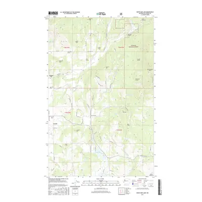
2017 Map of White Mud Lake
USGS Topo · Published 2017About this map
Colville and its northeastern rural environs appear in this modern survey, characterized by a transition from the valley floor to the forested slopes of the Selkirk Mountains. The settlement pattern follows old routes such as Aladdin Rd and Knapp Rd, connecting the valley to historic locations like Pinkney City and Church Flat. To the east, the Colville National Forest dominates the landscape, featuring prominent peaks like Old Dominion Mtn and Old Town Mtn.
Find a feature on this map
76 named features on this map. Tap any name to fly to it.
Don’t see what you’re looking for? This feature index may not catch every label — zoom into the map to look around manually.
Map Details
Editions of this 2017 White Mud Lake Map
This is the sole edition of this map. No revisions or reprints were ever made.
Other maps of this area

1927 · Chewelah
USGS Topo · 1:125,000

1929 · Colville
USGS Topo · 1:125,000

1930 · Chewelah
USGS Topo · 1:125,000

1933 · Colville
USGS Topo · 1:125,000

1952 · Gillette Mtn
USGS Topo · 1:24,000

1952 · Echo Valley
USGS Topo · 1:24,000

1952 · White Mud Lake
USGS Topo · 1:24,000

1952 · Aladdin
USGS Topo · 1:24,000

1952 · Colville
USGS Topo · 1:24,000

1958 · Sandpoint
USGS Topo · 1:250,000