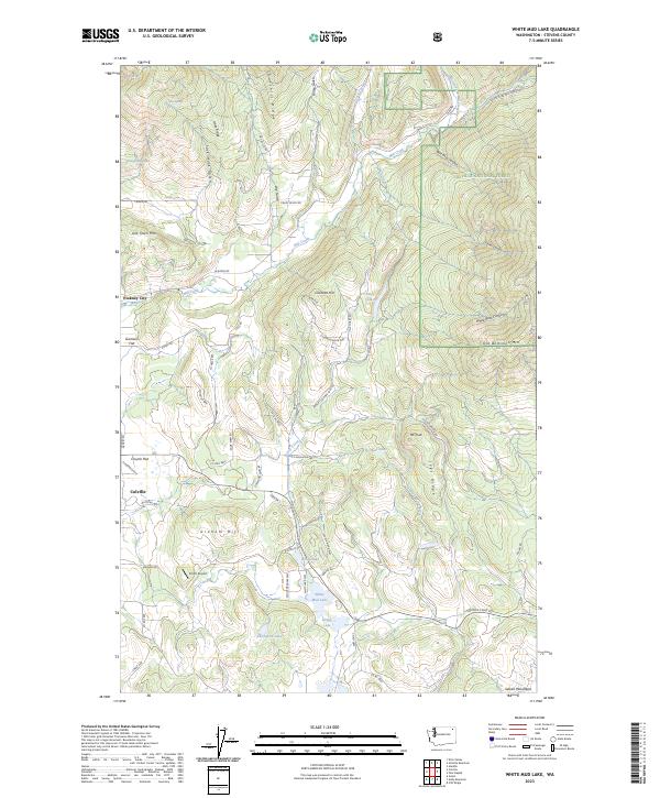
2023 Map of White Mud Lake
USGS Topo · Published 2023About this map
The northern reaches of Colville and the historic site of Pinkney City anchor this landscape within the Colville National Forest. The map documents a complex network of drainage systems, primarily focused on Mill Creek and its tributaries like North Fork Mill Creek and South Fork Mill Creek. These waterways carve through the terrain between Old Town Mtn and Old Dominion Mtn, shaping the valley where agriculture and early settlements once concentrated. Numerous small lakes, including White Mud Lake, Keogh Lake, and Thompson Lake, dot the southern portion of the quadrangle near the Selkirk Mountains foothills.
Find a feature on this map
68 named features on this map. Tap any name to fly to it.
Don’t see what you’re looking for? This feature index may not catch every label — zoom into the map to look around manually.
Map Details
Editions of this 2023 White Mud Lake Map
This is the sole edition of this map. No revisions or reprints were ever made.
Other maps of this area

1927 · Chewelah
USGS Topo · 1:125,000

1929 · Colville
USGS Topo · 1:125,000

1930 · Chewelah
USGS Topo · 1:125,000

1933 · Colville
USGS Topo · 1:125,000

1952 · Gillette Mtn
USGS Topo · 1:24,000

1952 · Echo Valley
USGS Topo · 1:24,000

1952 · White Mud Lake
USGS Topo · 1:24,000

1952 · Aladdin
USGS Topo · 1:24,000

1952 · Colville
USGS Topo · 1:24,000

1958 · Sandpoint
USGS Topo · 1:250,000