
1970 Map of White NE
USGS Topo · Published 1972About this map
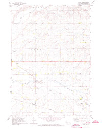
The boundary between Oak Lake and Sherman townships defines this section of Brookings County as it appeared in the early 1970s. This agricultural landscape is dominated by the prominent basin of Lake Hendricks, where a Spillway 1788 controls the water levels near the Minnesota border. The map reveals a meticulous record of land use and civil organization, from the local Townhall in the northern section to the numerous Gravel Pit operations concentrated near the lake and creek beds.
Find a feature on this map
11 named features on this map. Tap any name to fly to it.
Don’t see what you’re looking for? This feature index may not catch every label — zoom into the map to look around manually.
Map Details
Editions of this 1970 White NE Map
This is the sole edition of this map. No revisions or reprints were ever made.
Other maps of this area

1953 · Watertown
USGS Topo · 1:250,000

1958 · Watertown
USGS Topo · 1:250,000

1964 · Aurora
USGS Topo · 1:24,000

1967 · Lake Benton NW
USGS Topo · 1:24,000

1967 · Lake Benton SW
USGS Topo · 1:24,000

1967 · Hendricks
USGS Topo · 1:24,000

1970 · Astoria
USGS Topo · 1:24,000

1970 · White
USGS Topo · 1:24,000

1970 · Toronto
USGS Topo · 1:24,000
1972 · White SE
USGS Topo · 1:24,000
Featured Places
- Oaklake Township, SD
- Sherman Township, SD
- Lake Hendricks Township, SD
- Richland Township, SD
- Norfeld Hutterite Colony, SD