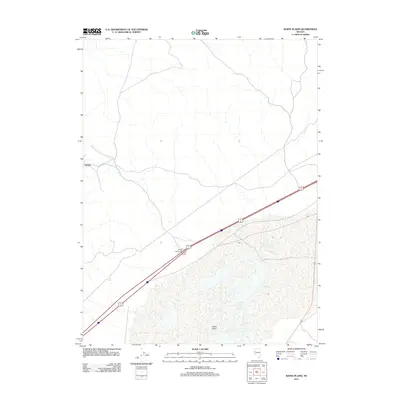
2011 Map of White Plains
USGS Topo · Published 2011About this map
White Plains and the surrounding high desert of Churchill County are defined by their position along the critical transportation corridors crossing northern Nevada. This 2011 survey illustrates the modern landscape of this arid region, where the primary human footprint is concentrated along the interstate highway system. The presence of Jessup, a location with deep roots in regional mining history, remains a focal point on the map, situated north of the main thoroughfare. Connectivity for this isolated area is facilitated by the Jessup Interchange, which links the local terrain to the broader regional network. The map reveals the sparse nature of contemporary settlements in this part of the Great Basin, emphasizing how topography and infrastructure dictate the placement of these few named locales amidst the expansive dry basins.
Find a feature on this map
3 named features on this map. Tap any name to fly to it.
Don’t see what you’re looking for? This feature index may not catch every label — zoom into the map to look around manually.
Map Details
Editions of this 2011 White Plains Map
This is the sole edition of this map. No revisions or reprints were ever made.
Other maps of this area

1908 · Carson Sink
USGS Topo · 1:250,000

1910 · Carson Sink
USGS Topo · 1:250,000

1931 · Lovelock
USGS Topo · 1:250,000

1935 · Lovelock
USGS Topo · 1:250,000

1951 · Carson Sink
USGS Topo · 1:62,500

1951 · Desert Peak
USGS Topo · 1:62,500

1955 · Lovelock
USGS Topo · 1:250,000

1956 · Toulon
USGS Topo · 1:62,500

1957 · Reno
USGS Topo · 1:250,000

1959 · Lovelock
USGS Topo · 1:250,000