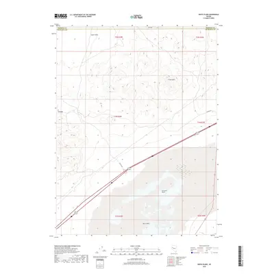
2018 Map of White Plains
USGS Topo · Published 2018About this map
Trinity Range heights and the arid expanse of the Fortymile Desert dominate this part of western Nevada. The landscape is defined by the stark transition from the mountain slopes of Oat Mtn down into the high-desert basins. Settlement is sparse, represented by the small locale of Jessup in the northwest and the naming of White Plains to the south. This area is historically significant as part of the arduous emigrant trail through the Lahontan Basin, where the lack of water made the desert passage notorious. The map shows how modern infrastructure follows these traditional corridors, with Frontage Rd skirting the base of the mountains and the desert floor. The vast Copper Valley also stretches across the northern sections, illustrating the typical basin-and-range topography that characterizes the border of Churchill and Pershing Counties.
Find a feature on this map
14 named features on this map. Tap any name to fly to it.
Don’t see what you’re looking for? This feature index may not catch every label — zoom into the map to look around manually.
Map Details
Editions of this 2018 White Plains Map
This is the sole edition of this map. No revisions or reprints were ever made.
Other maps of this area

1908 · Carson Sink
USGS Topo · 1:250,000

1910 · Carson Sink
USGS Topo · 1:250,000

1931 · Lovelock
USGS Topo · 1:250,000

1935 · Lovelock
USGS Topo · 1:250,000

1951 · Carson Sink
USGS Topo · 1:62,500

1951 · Desert Peak
USGS Topo · 1:62,500

1955 · Lovelock
USGS Topo · 1:250,000

1956 · Toulon
USGS Topo · 1:62,500

1957 · Reno
USGS Topo · 1:250,000

1959 · Lovelock
USGS Topo · 1:250,000