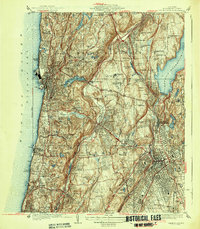
1938 Map of White Plains
USGS Topo · Published 1938About this map
White Plains and the riverfront communities of Westchester County are shown here as they appeared in the late 1930s, defined by a dense network of suburban estates, institutional grounds, and expansive cemeteries. The estate of Kykuit sits prominently in Pocantico Hills, while the western edge of the map follows the Hudson River from Ardsley on Hudson north to Philipsville Manor. Significant land use is dedicated to health and social services of the era, including the Grasslands Hospital, Westchester Penitentiary, and the Bloomingdale Asylum. The landscape is physically shaped by the massive Kensico Reservoir and the valleys of the Sawmill River and Pocantico River. Transportation is dominated by three divisions of the New York Central Railroad, facilitating the growth of commuter hubs like Hartsdale, Valhalla, and Tarrytown. Local education and social life are represented by Marymount College, Hackley Sch, and numerous country clubs including the Fairview Country Club.
Find a feature on this map
90 named features on this map. Tap any name to fly to it.
Don’t see what you’re looking for? This feature index may not catch every label — zoom into the map to look around manually.
Map Details
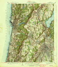
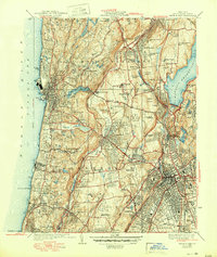
Editions of this 1938 White Plains Map
3 editions found
Other maps of this area

1891 · Harlem
USGS Topo · 1:62,500

1892 · Stamford
USGS Topo · 1:62,500

1892 · Tarrytown
USGS Topo · 1:62,500

1893 · Stamford
USGS Topo · 1:62,500

1893 · Tarrytown
USGS Topo · 1:62,500

1897 · Harlem
USGS Topo · 1:62,500

1897 · Oyster Bay
USGS Topo · 1:62,500

1898 · Harlem
USGS Topo · 1:62,500

1898 · Oyster Bay
USGS Topo · 1:62,500

1899 · Stamford
USGS Topo · 1:62,500