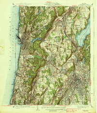
1938 Map of White Plains
USGS Topo · Published 1938About this map
White Plains and the surrounding townships of Mount Pleasant and Greenburgh are depicted here during a period of significant institutional and infrastructure development. The landscape is defined by the massive Kensico Reservoir to the east and the Hudson River to the west, with the New York Central railroad corridors facilitating suburban growth between these major water bodies. This era in Westchester County history shows a notable concentration of social and medical institutions, including the Grasslands Hospital, the Westchester Penitentiary, and the Bloomingdale Asylum.
Find a feature on this map
79 named features on this map. Tap any name to fly to it.
Don’t see what you’re looking for? This feature index may not catch every label — zoom into the map to look around manually.
Map Details
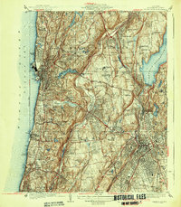
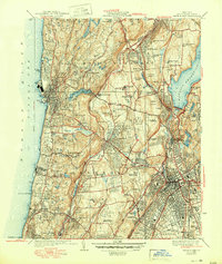
Editions of this 1938 White Plains Map
3 editions found
Other maps of this area

1891 · Harlem
USGS Topo · 1:62,500

1892 · Stamford
USGS Topo · 1:62,500

1892 · Tarrytown
USGS Topo · 1:62,500

1893 · Stamford
USGS Topo · 1:62,500

1893 · Tarrytown
USGS Topo · 1:62,500

1897 · Harlem
USGS Topo · 1:62,500

1897 · Oyster Bay
USGS Topo · 1:62,500

1898 · Harlem
USGS Topo · 1:62,500

1898 · Oyster Bay
USGS Topo · 1:62,500

1899 · Stamford
USGS Topo · 1:62,500