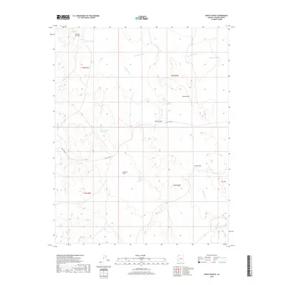
2018 Map of White Pockets
USGS Topo · Published 2018About this map
Clayhole Wash and Sandridge Wash dictate the movement of water across this arid high-desert landscape in Mohave County. The terrain is defined by distinctive geologic markers such as Chimney Rock and The Black Rocks, which likely served as crucial orientation points for travelers long before formal surveying. Water management in this dry environment is evident through several named catchments, including Rockhole Pocket Reservoir, Harolds Reservoir, and the small Snake Pond.
Find a feature on this map
17 named features on this map. Tap any name to fly to it.
Don’t see what you’re looking for? This feature index may not catch every label — zoom into the map to look around manually.
Map Details
Editions of this 2018 White Pockets Map
This is the sole edition of this map. No revisions or reprints were ever made.
Other maps of this area

1886 · Mt. Trumbull
USGS Topo · 1:250,000

1892 · Mt. Trumbull
USGS Topo · 1:250,000

1953 · Grand Canyon
USGS Topo · 1:250,000

1954 · Lost Spring SE
USGS Topo · 1:24,000

1954 · Hurricane Cliffs 2 NE
USGS Topo · 1:24,000
1954 · Lost Spring NW
USGS Topo · 1:24,000
1954 · Lost Spring Mtn
USGS Topo · 1:62,500
1956 · Lost Spring NE
USGS Topo · 1:24,000

1957 · Grand Canyon
USGS Topo · 1:250,000

1958 · Grand Canyon
USGS Topo · 1:250,000