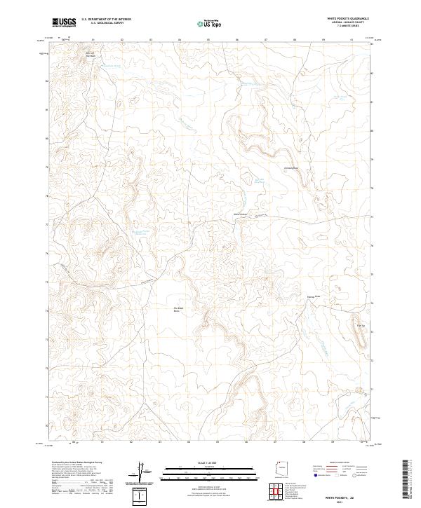
2021 Map of White Pockets
USGS Topo · Published 2021About this map
Clayhole Wash and Sandridge Wash cut through this arid landscape in northern Mohave County, where water management is the primary marker of human activity. The map reveals a network of essential water points for ranching and travel, including Harolds Reservoir, Snake Pond, and Rockhole Pocket Reservoir. These features, along with the distinct geological formations of White Pocket and Chimney Rock, define a region where survival depended on knowing the locations of seasonal catchments and landmarks. The presence of the Navajo Trail Rd indicates a long-standing transit route through the high desert, connecting distant points across the plateau. To the south, The Black Rocks and the elevation at Flat Top provide natural orientation points for those navigating the open range between the various draws and runs.
Find a feature on this map
17 named features on this map. Tap any name to fly to it.
Don’t see what you’re looking for? This feature index may not catch every label — zoom into the map to look around manually.
Map Details
Editions of this 2021 White Pockets Map
This is the sole edition of this map. No revisions or reprints were ever made.
Other maps of this area

1886 · Mt. Trumbull
USGS Topo · 1:250,000

1892 · Mt. Trumbull
USGS Topo · 1:250,000

1953 · Grand Canyon
USGS Topo · 1:250,000

1954 · Lost Spring SE
USGS Topo · 1:24,000

1954 · Hurricane Cliffs 2 NE
USGS Topo · 1:24,000
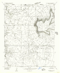
1954 · Lost Spring NW
USGS Topo · 1:24,000
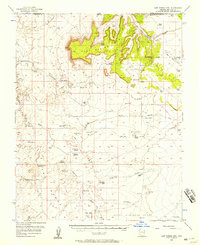
1954 · Lost Spring Mtn
USGS Topo · 1:62,500
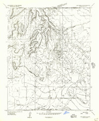
1956 · Lost Spring NE
USGS Topo · 1:24,000

1957 · Grand Canyon
USGS Topo · 1:250,000

1958 · Grand Canyon
USGS Topo · 1:250,000