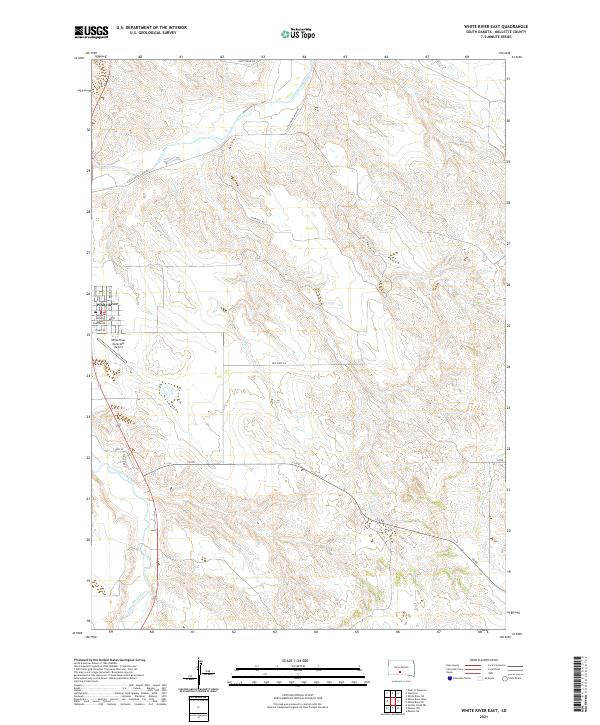
2021 Map of White River East
USGS Topo · Published 2021About this map
The White River townsite serves as the central hub of this South Dakota landscape, positioned along the banks of the Little White River. As the seat of local government, the town is anchored by the Mellette County Courthouse, which stands near the intersection of N Main St and Brock St. The surrounding terrain transitions from the developed streets of the village to the expansive cattle-country roads of the plains, including routes with descriptive names like High Hill Rd and Gusty Ridge Rd.
Find a feature on this map
18 named features on this map. Tap any name to fly to it.
Don’t see what you’re looking for? This feature index may not catch every label — zoom into the map to look around manually.
Map Details
Editions of this 2021 White River East Map
This is the sole edition of this map. No revisions or reprints were ever made.
Other maps of this area

1951 · White River NE
USGS Topo · 1:24,000

1951 · Westover
USGS Topo · 1:24,000

1951 · Murdo 3 NE
USGS Topo · 1:24,000

1955 · Martin
USGS Topo · 1:250,000

1958 · Martin
USGS Topo · 1:250,000

1969 · Soldier Creek NE
USGS Topo · 1:24,000

1969 · Mission NW
USGS Topo · 1:24,000

1982 · Mission NE
USGS Topo · 1:24,000

1982 · White River SE
USGS Topo · 1:24,000

1982 · White River East
USGS Topo · 1:24,000
Featured Places
- White River, SD
- Swift Bear Segment, SD
- Horse Creek Segment, SD
- Horse Creek, Horse Creek Segment
- Butte Creek Segment, SD