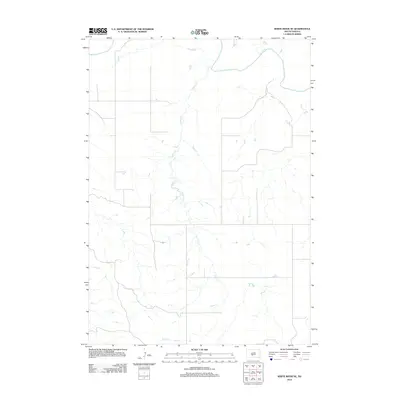
2012 Map of White River NE
USGS Topo · Published 2012About this map
The White River winds through the northern portion of this Mellette County landscape, defining the local drainage patterns and topography. The terrain is marked by the extensive network of Kaiser Cr, which flows northward across the section, fed by numerous unnamed seasonal tributaries. This area of South Dakota exhibits a sparse, rural infrastructure characteristic of the Great Plains, where the land is primarily organized by a rectilinear grid of local roads and section lines. The map reveals the relationship between these early 21st-century transit routes and the natural breaks in the land created by the winding path of Kaiser Cr, providing a clear view of the hydrological features that dominate the Swift Bear Segment.
Find a feature on this map
2 named features on this map. Tap any name to fly to it.
Don’t see what you’re looking for? This feature index may not catch every label — zoom into the map to look around manually.
Map Details
Editions of this 2012 White River NE Map
This is the sole edition of this map. No revisions or reprints were ever made.
Other maps of this area

1951 · Murdo SE
USGS Topo · 1:24,000

1951 · White River NE
USGS Topo · 1:24,000

1951 · Westover
USGS Topo · 1:24,000

1951 · Badnation NW
USGS Topo · 1:24,000

1951 · Murdo SW
USGS Topo · 1:24,000

1955 · Martin
USGS Topo · 1:250,000

1958 · Martin
USGS Topo · 1:250,000

1970 · Vivian SW
USGS Topo · 1:24,000

1982 · White River SE
USGS Topo · 1:24,000

1982 · Wood North
USGS Topo · 1:24,000