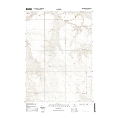
2015 Map of White River NE
USGS Topo · Published 2015About this map
White River meanders across the northern border of this terrain, marking the boundary between Jones and Mellette counties. The landscape is defined by the drainage of Kaiser Cr, which flows north toward the river through a network of draws and ridges. Local roads across this portion of the Swift Bear Segment often bear names that reflect the heritage and residents of the area, such as Church Hill Rd, Ghost Face Dr, and Ironwing Rd. The survey reveals a sparse settlement pattern characteristic of this part of South Dakota, where the Public Land Survey System grid of townships like t43n r28w dictates the placement of section lines and gravel routes such as Cody Rd and 276th Ave.
Find a feature on this map
26 named features on this map. Tap any name to fly to it.
Don’t see what you’re looking for? This feature index may not catch every label — zoom into the map to look around manually.
Map Details
Editions of this 2015 White River NE Map
This is the sole edition of this map. No revisions or reprints were ever made.
Other maps of this area

1951 · Murdo SE
USGS Topo · 1:24,000

1951 · White River NE
USGS Topo · 1:24,000

1951 · Westover
USGS Topo · 1:24,000

1951 · Badnation NW
USGS Topo · 1:24,000

1951 · Murdo SW
USGS Topo · 1:24,000

1955 · Martin
USGS Topo · 1:250,000

1958 · Martin
USGS Topo · 1:250,000

1970 · Vivian SW
USGS Topo · 1:24,000

1982 · White River SE
USGS Topo · 1:24,000

1982 · Wood North
USGS Topo · 1:24,000