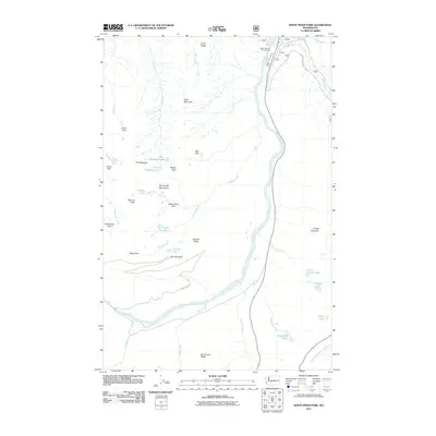
2011 Map of White River Park
USGS Topo · Published 2011About this map
The White River carves a deep valley through this landscape, serving as the primary drainage for the surrounding heights of the Sourdough Mountains and Crystal Mountain. The map illustrates a high-elevation environment where numerous small lakes, such as Lower Palisades Lake and Deadwood Lakes, dot the plateaus and basins between prominent ridges. The presence of White River Park and the Silver Springs Campground suggests a region primarily defined by recreational use and natural preservation in the early 21st century.
Find a feature on this map
43 named features on this map. Tap any name to fly to it.
Don’t see what you’re looking for? This feature index may not catch every label — zoom into the map to look around manually.
Map Details
Editions of this 2011 White River Park Map
This is the sole edition of this map. No revisions or reprints were ever made.
Other maps of this area

1901 · Snoqualmie Pass
USGS Topo · 1:125,000

1902 · Mount Aix
USGS Topo · 1:125,000

1903 · Snoqualmie
USGS Topo · 1:125,000

1904 · Mt Aix
USGS Topo · 1:125,000

1913 · Cedar Lake
USGS Topo · 1:125,000

1924 · Mt Rainier
USGS Topo · 1:96,000

1928 · Mt Rainier
USGS Topo · 1:125,000

1950 · Yakima
USGS Topo · 1:250,000

1956 · Greenwater
USGS Topo · 1:62,500

1957 · Wenatchee
USGS Topo · 1:250,000