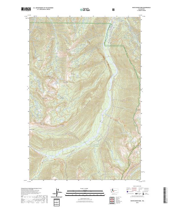
2023 Map of White River Park
USGS Topo · Published 2023About this map
White River and the high ridges of the Cascade Range anchor this study of the northeastern reaches of Mount Rainier National Park. The landscape is defined by the sharp verticality of Sourdough Mountains and Governors Ridge, where subalpine meadows like Yakima Park and White River Park contrast with the dense glacial drainages of Huckleberry Creek and Fryingpan Creek. The mapping reveals the complex recreational infrastructure that characterizes the modern era, from the winding Sunrise Road leading to Sunrise Point to the Pacific Crest National Scenic Trail skirting the eastern boundary. Notable alpine clusters such as Lower Palisades Lake and the high-elevation basin of Crystal Lake illustrate the hydrologic patterns of the high country before the water descends toward the Snoqualmie National Forest.
Find a feature on this map
64 named features on this map. Tap any name to fly to it.
Don’t see what you’re looking for? This feature index may not catch every label — zoom into the map to look around manually.
Map Details
Editions of this 2023 White River Park Map
This is the sole edition of this map. No revisions or reprints were ever made.
Other maps of this area

1901 · Snoqualmie Pass
USGS Topo · 1:125,000

1902 · Mount Aix
USGS Topo · 1:125,000

1903 · Snoqualmie
USGS Topo · 1:125,000

1904 · Mt Aix
USGS Topo · 1:125,000

1913 · Cedar Lake
USGS Topo · 1:125,000

1924 · Mt Rainier
USGS Topo · 1:96,000

1928 · Mt Rainier
USGS Topo · 1:125,000

1950 · Yakima
USGS Topo · 1:250,000

1956 · Greenwater
USGS Topo · 1:62,500

1957 · Wenatchee
USGS Topo · 1:250,000