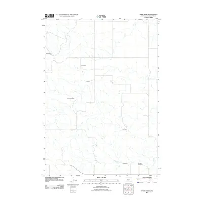
2012 Map of White River SE
USGS Topo · Published 2012About this map
Mellette County ranching culture defines this landscape south of the White River, where a network of family-owned operations marks the sprawling grasslands of the Swift Bear Segment. The distribution of homesteads such as the William Krogman Ranch, Frank Krogman Ranch, and Egleston Ranch illustrates the large-scale land management typical of this region in the early twenty-first century. These family names serve as vital markers for local historians and genealogists tracking the evolution of South Dakota agriculture.
Find a feature on this map
13 named features on this map. Tap any name to fly to it.
Don’t see what you’re looking for? This feature index may not catch every label — zoom into the map to look around manually.
Map Details
Editions of this 2012 White River SE Map
This is the sole edition of this map. No revisions or reprints were ever made.
Other maps of this area

1951 · White River NE
USGS Topo · 1:24,000

1951 · Westover
USGS Topo · 1:24,000

1951 · Badnation NW
USGS Topo · 1:24,000

1955 · Martin
USGS Topo · 1:250,000

1958 · Martin
USGS Topo · 1:250,000

1969 · Mission NW
USGS Topo · 1:24,000

1982 · Mission NE
USGS Topo · 1:24,000

1982 · White River SE
USGS Topo · 1:24,000

1982 · Wood North
USGS Topo · 1:24,000

1982 · White River East
USGS Topo · 1:24,000