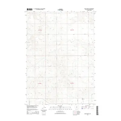
2015 Map of White River SE
USGS Topo · Published 2015About this map
Saint Marys Garden Cem sits in the southern portion of this landscape in Mellette County, reflecting the deep-rooted community history of the Swift Bear Segment. The terrain is defined by the drainage of White Thunder Cr as it flows through the southeastern corner, carving through a network of sections across townships T41N and T42N. A grid of rural routes provides access to the high ground, including the descriptively named No Belly Rd and High Hill Rd. These thoroughfares, along with Strike Rd and White Wing Rd, highlight the modern infrastructure overlaying a traditional Great Plains ranching and agricultural landscape in the mid-2010s.
Find a feature on this map
17 named features on this map. Tap any name to fly to it.
Don’t see what you’re looking for? This feature index may not catch every label — zoom into the map to look around manually.
Map Details
Editions of this 2015 White River SE Map
This is the sole edition of this map. No revisions or reprints were ever made.
Other maps of this area

1951 · White River NE
USGS Topo · 1:24,000

1951 · Westover
USGS Topo · 1:24,000

1951 · Badnation NW
USGS Topo · 1:24,000

1955 · Martin
USGS Topo · 1:250,000

1958 · Martin
USGS Topo · 1:250,000

1969 · Mission NW
USGS Topo · 1:24,000

1982 · Mission NE
USGS Topo · 1:24,000

1982 · White River SE
USGS Topo · 1:24,000

1982 · Wood North
USGS Topo · 1:24,000

1982 · White River East
USGS Topo · 1:24,000