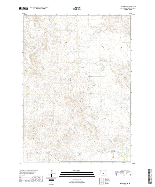
2021 Map of White River SE
USGS Topo · Published 2021About this map
Saint Mary's Garden Cem serves as a primary landmark in this rural section of Mellette County, reflecting the sparse but enduring settlement patterns of the South Dakota prairie. The landscape is defined by the winding course of White Thunder Cr, which carves through the undulating topography typical of the White River region. Transport in the early 21st century remains anchored to a grid of section-line roads such as Strike Rd, Belly Rd, and 281st Ave, which provide the essential framework for ranching and agricultural life. This map documents the persistent layout of township boundaries like t41n r27w, preserving the spatial organization of a territory where the vastness of the plains is punctuated only by occasional named watercourses and small communal sites.
Find a feature on this map
11 named features on this map. Tap any name to fly to it.
Don’t see what you’re looking for? This feature index may not catch every label — zoom into the map to look around manually.
Map Details
Editions of this 2021 White River SE Map
This is the sole edition of this map. No revisions or reprints were ever made.
Other maps of this area

1951 · White River NE
USGS Topo · 1:24,000

1951 · Westover
USGS Topo · 1:24,000

1951 · Badnation NW
USGS Topo · 1:24,000

1955 · Martin
USGS Topo · 1:250,000

1958 · Martin
USGS Topo · 1:250,000

1969 · Mission NW
USGS Topo · 1:24,000

1982 · Mission NE
USGS Topo · 1:24,000

1982 · White River SE
USGS Topo · 1:24,000

1982 · Wood North
USGS Topo · 1:24,000

1982 · White River East
USGS Topo · 1:24,000