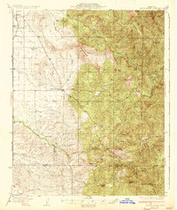
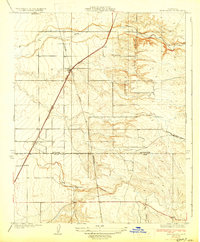
1936 Map of White River
USGS Topo · Published 1936About this map
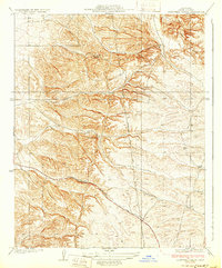
The Tule River Indian Reservation dominates the northeastern corner of this 1930s landscape, where the Sierra Nevada foothills meet the agriculture of the San Joaquin Valley. This era represents a period of hard-scrabble industry and established rural life along the Tulare and Kern county line. The map illustrates a transitional economy where extraction and education anchored small communities. Resource extraction is evident at the Last Chance Mine and Blue Mtn Mine, while the social fabric is traced through the Grandview Sch and Quincy Sch. The terrain is deeply incised by the drainage systems of Deer Creek and White River, with unique local landmarks like The Pothole and Telegraph Flat providing specific geographical context for family history research. In the west, the grid of the Deer Creek Colony and the settlement of Fountain Springs mark the early development of the region's agricultural footprint.
Find a feature on this map
33 named features on this map. Tap any name to fly to it.
Don’t see what you’re looking for? This feature index may not catch every label — zoom into the map to look around manually.
Map Details
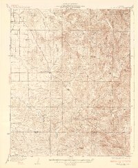
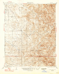
Editions of this 1936 White River Map
3 editions found
Other maps of this area

1904 · Kaweah
USGS Topo · 1:125,000

1909 · Kaweah
USGS Topo · 1:125,000

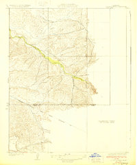
1920 · Delonagha
USGS Topo · 1:62,500
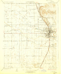
1926 · Quincy School
USGS Topo · 1:31,680

1926 · Glennville
USGS Topo · 1:62,500
1929 · Richgrove
USGS Topo · 1:31,680
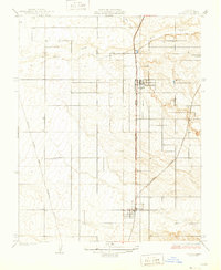
1929 · Porterville
USGS Topo · 1:31,680
1929 · Quincy School
USGS Topo · 1:31,680
1929 · Ducor
USGS Topo · 1:31,680
1931 · Deepwell Ranch
USGS Topo · 1:31,680