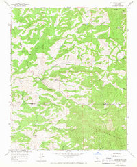
1965 Map of White River
USGS Topo · Published 1966About this map
The White River settlement and its surrounding foothills mark a landscape defined by ranching and small-scale mining in the mid-1960s. Located along the boundary of Tulare Co Kern Co, the area is punctuated by family-named landholdings such as Guthrie Ranch, Klein Ranch, and Vincent Ranch. The map reveals a history of extraction through scattered operations like the Gold Mine, Blue Mtn Mine, and the Last Chance Mine, which sit tucked into the drainages of Arrastre Creek and Grizzly Gulch.
Find a feature on this map
31 named features on this map. Tap any name to fly to it.
Don’t see what you’re looking for? This feature index may not catch every label — zoom into the map to look around manually.
Map Details
Editions of this 1965 White River Map
2 editions found
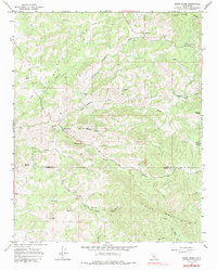
Other maps of this area

1920 · Delonagha
USGS Topo · 1:62,500

1926 · Quincy School
USGS Topo · 1:31,680

1926 · Glennville
USGS Topo · 1:62,500

1929 · Quincy School
USGS Topo · 1:31,680

1932 · Woody
USGS Topo · 1:62,500

1935 · Woody
USGS Topo · 1:62,500

1936 · White River
USGS Topo · 1:62,500

1936 · Tobias Peak
USGS Topo · 1:125,000

1943 · Tobias Peak
USGS Topo · 1:125,000

1945 · Tobias Peak
USGS Topo · 1:62,500