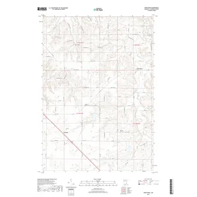
2019 Map of White Rock
USGS Topo · Published 2019About this map
Wastedo and White Rock anchor this agricultural landscape in Goodhue County, where the terrain is defined by the winding paths of Belle Cr and Butler Cr. The area is notably dense with local heritage sites, featuring several burial grounds including Spring Garden Cem, Episcopal Church Cem, and the simply marked Old Cem. These locations, alongside Jempland Cem in the northeast, offer significant points of interest for genealogical research in this part of Minnesota.
Find a feature on this map
62 named features on this map. Tap any name to fly to it.
Don’t see what you’re looking for? This feature index may not catch every label — zoom into the map to look around manually.
Map Details
Editions of this 2019 White Rock Map
This is the sole edition of this map. No revisions or reprints were ever made.
Other maps of this area

1944 · Red Wing
USGS Topo · 1:62,500

1952 · Red Wing
USGS Topo · 1:62,500

1953 · Saint Paul
USGS Topo · 1:250,000

1957 · Hastings
USGS Topo · 1:62,500

1959 · Saint Paul
USGS Topo · 1:250,000

1968 · Zumbrota
USGS Topo · 1:24,000

1968 · Kenyon
USGS Topo · 1:24,000

1968 · Sogn
USGS Topo · 1:24,000

1968 · Wanamingo
USGS Topo · 1:24,000

1968 · White Rock
USGS Topo · 1:24,000