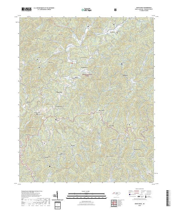
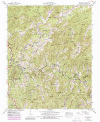
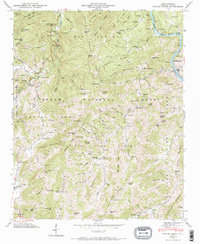
2022 Map of White Rock
USGS Topo · Published 2022About this map
Shelton Laurel Cr and its many tributaries carve through the heart of this North Carolina mountain landscape, defining the layout of rural communities within the Pisgah National Forest. The map documents a classic Appalachian settlement pattern, where small pockets of population like White Rock, Cutshalltown, and Guntertown are tied closely to the creek bottoms and hollows. For family historians, the sheet is exceptionally detailed, noting numerous family-named burial sites including Belva Cem, Bullman Cem, and Franklin Cem tucked into the hillsides.
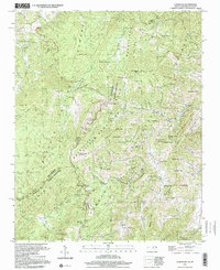
Find a feature on this map
133 named features on this map. Tap any name to fly to it.
Don’t see what you’re looking for? This feature index may not catch every label — zoom into the map to look around manually.
Map Details
Editions of this 2022 White Rock Map
This is the sole edition of this map. No revisions or reprints were ever made.
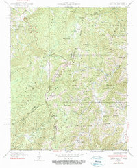
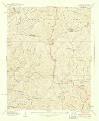
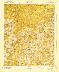
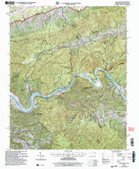
Historical Maps of Big Laurel Through Time
18 maps found

1935 Lemon Gap
Madison County, NC

1935 Spring Creek
Madison County, NC
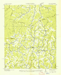
1936 Sams Gap
Madison County, NC
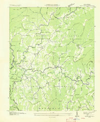
1936 White Rock
Madison County, NC
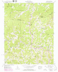
1939 Sams Gap
Madison County, NC
1939 White Rock
Madison County, NC
1940 Lemon Gap
Madison County, NC
1940 Sams Gap
Madison County, NC
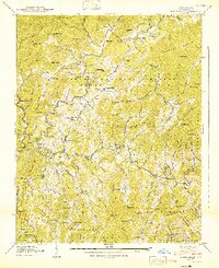
1940 White Rock
Madison County, NC
1946 Spring Creek
Madison County, NC
1947 Spring Creek
Madison County, NC
1997 Lemon Gap
Madison County, NC
2003 Paint Rock
Madison County, NC
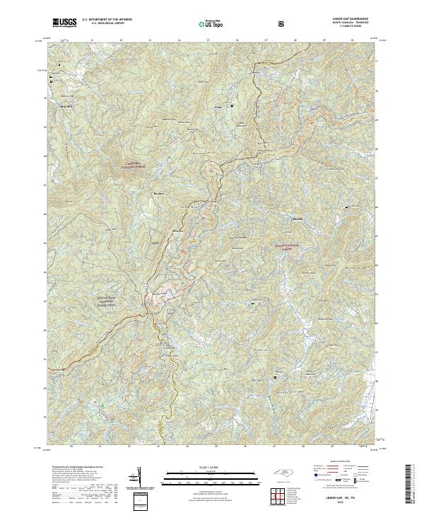
2022 Lemon Gap
Madison County, NC
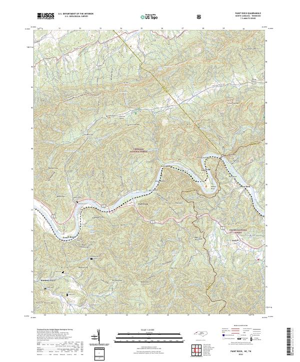
2022 Paint Rock
Madison County, NC
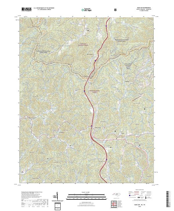
2022 Sams Gap
Madison County, NC
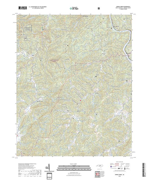
2022 Spring Creek
Madison County, NC
2022 White Rock
Madison County, NC