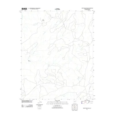
2011 Map of White Rock Wash
USGS Topo · Published 2011About this map
Upper Forest Mountain anchors the high ground of this landscape within the Chinle Agency, overlooking a network of seasonal watercourses and springs. The drainage patterns are defined by the winding course of Nazlini Creek and the namesake White Rock Wash, which carve through the high desert terrain. These water sources have long been vital to the region's geography, evidenced by named points such as Honeymoon Spring, White Rock Spring, and Tsegito Spring.
Find a feature on this map
11 named features on this map. Tap any name to fly to it.
Don’t see what you’re looking for? This feature index may not catch every label — zoom into the map to look around manually.
Map Details
Editions of this 2011 White Rock Wash Map
This is the sole edition of this map. No revisions or reprints were ever made.
Other maps of this area

1886 · Fort Defiance
USGS Topo · 1:250,000

1892 · Fort Defiance
USGS Topo · 1:250,000

1892 · Canyon De Chelly
USGS Topo · 1:250,000

1954 · Shiprock
USGS Topo · 1:250,000

1954 · Gallup
USGS Topo · 1:250,000

1955 · Zith-Tusayan Butte 2 SE
USGS Topo · 1:24,000

1955 · Zith-Tusayan Butte 2 SW
USGS Topo · 1:24,000

1955 · Zith-Tusayan Butte 2 NW
USGS Topo · 1:24,000

1955 · Zith-Tusayan Butte 2 NE
USGS Topo · 1:24,000

1955 · Sonsala Butte 3 SE
USGS Topo · 1:24,000