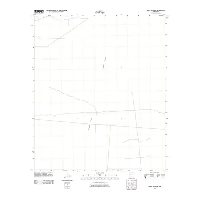
2010 Map of White Sands SE
USGS Topo · Published 2010About this map
Tularosa Valley dominates this 2010 topographic representation of southern New Mexico, revealing a landscape defined by expansive desert basins and minimal surface water. Located in Otero County, this section of the valley floor shows the sparse infrastructure of the early 21st century, with a web of unimproved roads and 4WD tracks crossing the arid terrain. The map's contour intervals at 20 feet highlight the subtle shifts in elevation across the valley floor, providing a technical look at the area's drainage patterns and topographic relief. This specific quadrangle captures the geographic character of the region south of the main White Sands area, emphasizing the open, undeveloped stretches that characterize the borderlands between mountain ranges.
Find a feature on this map
1 named feature on this map. Tap any name to fly to it.
Don’t see what you’re looking for? This feature index may not catch every label — zoom into the map to look around manually.
Map Details
Editions of this 2010 White Sands SE Map
This is the sole edition of this map. No revisions or reprints were ever made.
Other maps of this area

1940 · Orogrande
USGS Topo · 1:62,500

1940 · Newman
USGS Topo · 1:62,500

1941 · Desert
USGS Topo · 1:62,500

1943 · Parker Lake
USGS Topo · 1:62,500

1943 · Desert
USGS Topo · 1:62,500

1943 · Newman
USGS Topo · 1:62,500

1943 · Orogrande
USGS Topo · 1:62,500

1948 · Davies Tank
USGS Topo · 1:24,000

1948 · El Wood
USGS Topo · 1:24,000

1948 · Newman NW
USGS Topo · 1:24,000