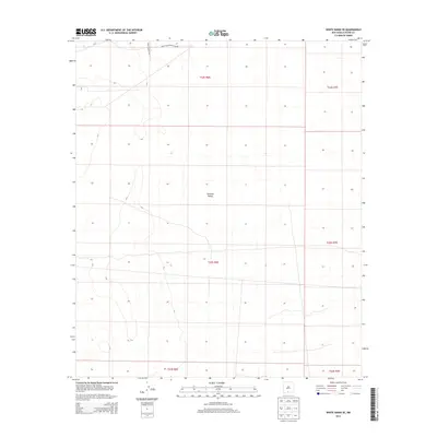
2013 Map of White Sands SE
USGS Topo · Published 2013About this map
Tularosa Valley defines the arid landscape of this 2013 survey in Otero County, New Mexico. The area is dominated by the restricted geography of the White Sands Missile Range, a significant military reservation that occupies the northern portion of the quadrangle. The map details the transition between various Public Land Survey System townships, including t22s r6e and t23s r7e, illustrating the precise grid that organizes this desert basin. Infrastructure is sparse in this high-altitude terrain, with WSMR S Route 220 providing the primary corridor through the northern sections. For the local historian or researcher, the map preserves the exact boundaries and drainage patterns of the valley floor before further modern development or landscape shifts.
Find a feature on this map
9 named features on this map. Tap any name to fly to it.
Don’t see what you’re looking for? This feature index may not catch every label — zoom into the map to look around manually.
Map Details
Editions of this 2013 White Sands SE Map
This is the sole edition of this map. No revisions or reprints were ever made.
Other maps of this area

1940 · Orogrande
USGS Topo · 1:62,500

1940 · Newman
USGS Topo · 1:62,500

1941 · Desert
USGS Topo · 1:62,500

1943 · Parker Lake
USGS Topo · 1:62,500

1943 · Desert
USGS Topo · 1:62,500

1943 · Newman
USGS Topo · 1:62,500

1943 · Orogrande
USGS Topo · 1:62,500

1948 · Davies Tank
USGS Topo · 1:24,000

1948 · El Wood
USGS Topo · 1:24,000

1948 · Newman NW
USGS Topo · 1:24,000