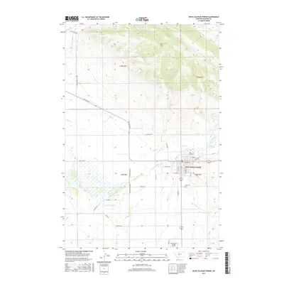
2017 Map of White Sulphur Springs
USGS Topo · Published 2017About this map
White Sulphur Springs sits at the confluence of several vital watercourses, including the N Fork Smith River and Hot Springs Cr. This Meagher County landscape is defined by the transition from the relatively flat valley floor to the prominent rising terrain of The Castle and the Park Hills to the north. The town's grid is well-established, with named streets like E Houston St and E Laramie St centered around the medicinal waters that give the settlement its name.
Find a feature on this map
45 named features on this map. Tap any name to fly to it.
Don’t see what you’re looking for? This feature index may not catch every label — zoom into the map to look around manually.
Map Details
Editions of this 2017 White Sulphur Springs Map
This is the sole edition of this map. No revisions or reprints were ever made.
Other maps of this area

1886 · Fort Logan
USGS Topo · 1:250,000

1886 · Little Belt Mts.
USGS Topo · 1:250,000

1894 · Little Belt Mts.
USGS Topo · 1:250,000

1897 · Little Belt Mts.
USGS Topo · 1:250,000

1898 · Little Belt Mts.
USGS Topo · 1:250,000

1902 · Little Belt Mts.
USGS Topo · 1:250,000

1948 · White Sulphur Springs
USGS Topo · 1:250,000

1958 · White Sulphur Springs
USGS Topo · 1:250,000

1961 · White Sulphur Springs
USGS Topo · 1:250,000

1965 · White Sulphur Springs
USGS Topo · 1:250,000
Featured Places
- White Sulphur Springs, MT
- Doak Trailer Court, White Sulphur Springs
- Mikesell Trailer Court, White Sulphur Springs
- Meagher County, MT
- United States