
1958 Map of White Sulphur Springs
USGS Topo · Published 1968About this map
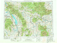
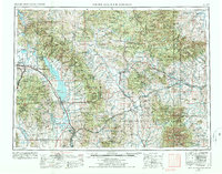
White Sulphur Springs sits at the heart of this central Montana landscape, where the high plains of the Musselshell River basin meet the massive uplift of the Lewis and Clark National Forest. The 1950s era saw significant hydraulic development along the Missouri River, notably the presence of Canyon Ferry Lake and the Canyon Ferry Dam, which reshaped the geography south of East Helena. The map reveals a region defined by its extraction history, documenting numerous workings such as the East Pacific Mine and the Sapphire Mine. Scattered rural schools like Whaley School and Settlement School underscore the era's decentralized education system. Transportation is anchored by the Northern Pacific Railway and the Chicago Milwaukee St Paul and Pacific Railroad, which serviced small outposts like Martinsdale and Lennep before the widespread decline of the mountain rail lines.
Find a feature on this map
225 named features on this map. Tap any name to fly to it.
Don’t see what you’re looking for? This feature index may not catch every label — zoom into the map to look around manually.
Map Details
Editions of this 1958 White Sulphur Springs Map
3 editions found
Other maps of this area

1886 · Great Falls
USGS Topo · 1:250,000

1886 · Fort Logan
USGS Topo · 1:250,000

1886 · Little Belt Mts.
USGS Topo · 1:250,000

1888 · Three Forks
USGS Topo · 1:250,000

1889 · Big Snowy Mountain
USGS Topo · 1:250,000

1889 · Helena
USGS Topo · 1:250,000

1890 · Fort Benton
USGS Topo · 1:250,000

1891 · Livingston
USGS Topo · 1:250,000

1891 · Big Timber
USGS Topo · 1:125,000

1892 · Fort Benton
USGS Topo · 1:250,000