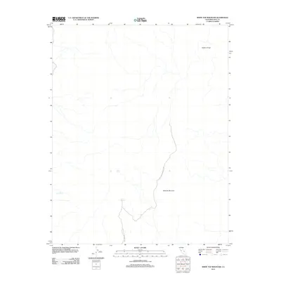
2012 Map of White Top Mountain
USGS Topo · Published 2012About this map
White Top Mountain dominates this high-altitude landscape in Inyo County, situated within the protected boundaries of Death Valley National Park. The survey illustrates a terrain defined by stark drainage patterns and isolated water sources, vital for survival in this arid environment. Key hydrological points such as Burro Spring, Quartz Spring, and Rest Spring are documented, serving as essential landmarks for navigation and local history. To the northeast, the deeply incised Bighorn Gorge underscores the dramatic verticality of the region. The map reveals the intricate network of seasonal washes and high-desert topography as it appeared in the early 21st century, preserving the specific placement of these rare springs and geographical features.
Find a feature on this map
6 named features on this map. Tap any name to fly to it.
Don’t see what you’re looking for? This feature index may not catch every label — zoom into the map to look around manually.
Map Details
Editions of this 2012 White Top Mountain Map
This is the sole edition of this map. No revisions or reprints were ever made.
Other maps of this area

1908 · Ballarat
USGS Topo · 1:250,000

1913 · Ballarat
USGS Topo · 1:250,000

1948 · Death Valley
USGS Topo · 1:250,000

1950 · Ubehebe Peak
USGS Topo · 1:62,500

1951 · Ubehebe Peak
USGS Topo · 1:62,500

1951 · Marble Canyon
USGS Topo · 1:62,500

1954 · Death Valley
USGS Topo · 1:250,000

1956 · Death Valley
USGS Topo · 1:250,000

1957 · Death Valley
USGS Topo · 1:250,000

1957 · Tin Mountain
USGS Topo · 1:62,500