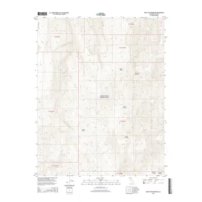
2015 Map of White Top Mountain
USGS Topo · Published 2015About this map
Death Valley National Park encompasses this arid, high-elevation landscape where the Cottonwood Mountains meet the northern reaches of the Mojave Desert. The map reveals the critical importance of water in this environment, marking scattered life-sustaining points such as Burro Spring, Rest Spring, and Quartz Spring. These locations often dictated travel and survival patterns for early inhabitants and explorers navigating the steep terrain between White Top Mtn and the Panamint Range.
Find a feature on this map
19 named features on this map. Tap any name to fly to it.
Don’t see what you’re looking for? This feature index may not catch every label — zoom into the map to look around manually.
Map Details
Editions of this 2015 White Top Mountain Map
This is the sole edition of this map. No revisions or reprints were ever made.
Other maps of this area

1908 · Ballarat
USGS Topo · 1:250,000

1913 · Ballarat
USGS Topo · 1:250,000

1948 · Death Valley
USGS Topo · 1:250,000

1950 · Ubehebe Peak
USGS Topo · 1:62,500

1951 · Ubehebe Peak
USGS Topo · 1:62,500

1951 · Marble Canyon
USGS Topo · 1:62,500

1954 · Death Valley
USGS Topo · 1:250,000

1956 · Death Valley
USGS Topo · 1:250,000

1957 · Death Valley
USGS Topo · 1:250,000

1957 · Tin Mountain
USGS Topo · 1:62,500