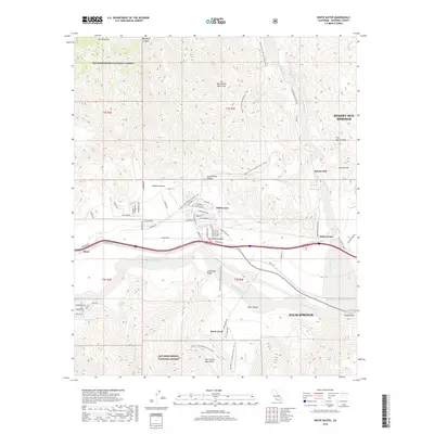
2018 Map of White Water
USGS Topo · Published 2018About this map
The San Gorgonio Pass serves as a critical corridor between the San Bernardino Mountains and the San Jacinto Mountains, where the modern infrastructure of Riverside County intersects with the long-standing desert landscape. In the late 2010s, this area shows a transition from the established outskirts of Palm Springs and Desert Hot Springs to the smaller residential clusters of Whitewater and Bonnie Bell. The drainage of the Whitewater River and the San Gorgonio River dictates the local geography, particularly near Windy Point.
Find a feature on this map
74 named features on this map. Tap any name to fly to it.
Don’t see what you’re looking for? This feature index may not catch every label — zoom into the map to look around manually.
Map Details
Editions of this 2018 White Water Map
This is the sole edition of this map. No revisions or reprints were ever made.
Other maps of this area

1901 · Southern California Sheet No. 1
USGS Topo · 1:250,000

1901 · San Jacinto
USGS Topo · 1:125,000

1902 · San Gorgonio
USGS Topo · 1:125,000

1904 · Southern California Sheet No. 1
USGS Topo · 1:250,000

1940 · Palm Springs
USGS Topo · 1:62,500

1942 · Banning
USGS Topo · 1:62,500

1943 · Banning
USGS Topo · 1:62,500

1944 · Palm Springs
USGS Topo · 1:62,500

1947 · Santa Ana
USGS Topo · 1:250,000

1949 · Santa Ana
USGS Topo · 1:250,000