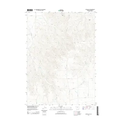
2014 Map of Whiteclay SW
USGS Topo · Published 2014About this map
Beaver Wall dominates the northern reaches of this Sheridan County landscape, where the high plains terrain is deeply incised by a network of drainage creeks. Collected water at Kadlecek Reservoir provides a focal point in the western half of the sheet, while the natural courses of Beaver Cr, Little Beaver Cr, and White Clay Cr carve through the sedimentary elevations. The land is organized by a sparse grid of rural routes including Road 13C and 640th Rd, which navigate the rises between features like Bomar Hill. This survey reflects the characteristic open-range management and water-dependent geography of northwestern Nebraska in the early twenty-first century, showing the limited but vital infrastructure necessary to maintain this high-altitude cattle country.
Find a feature on this map
18 named features on this map. Tap any name to fly to it.
Don’t see what you’re looking for? This feature index may not catch every label — zoom into the map to look around manually.
Map Details
Editions of this 2014 Whiteclay SW Map
This is the sole edition of this map. No revisions or reprints were ever made.
Other maps of this area

1955 · Alliance
USGS Topo · 1:250,000

1957 · Alliance
USGS Topo · 1:250,000

1958 · Alliance
USGS Topo · 1:250,000

1966 · Hay Springs NE
USGS Topo · 1:24,000

1966 · Hay Springs
USGS Topo · 1:24,000

1966 · Chadron 3 NE
USGS Topo · 1:24,000

1969 · Whiteclay
USGS Topo · 1:24,000

1969 · Beaver Wall
USGS Topo · 1:24,000

1969 · Chadron NE
USGS Topo · 1:24,000

1969 · Bordeaux
USGS Topo · 1:24,000