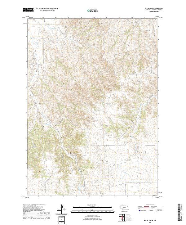
2021 Map of Whiteclay SW
USGS Topo · Published 2021About this map
Beaver Creek Rd and White Clay Creek Rd wind through the deeply dissected drainage basins of Sheridan County, Nebraska. This landscape is defined by the erosion of the High Plains, where Little Beaver Cr and the main stem of Beaver Cr have carved intricate valley systems. The elevation is anchored by distinct topographic landmarks such as Beaver Wall in the north and Bomar Hill to the northeast, illustrating the sharp breaks in the prairie terrain. Human activity is marked by rural infrastructure like the Kadlecek Reservoir, a significant water management feature for the region's agricultural needs. The southern portion of the sheet follows the meandering course of White Clay Cr, which continues the pattern of alluvial valleys cutting through the semi-arid uplands, connected by a network of local routes including 450th Ln and 430th Trl.
Find a feature on this map
18 named features on this map. Tap any name to fly to it.
Don’t see what you’re looking for? This feature index may not catch every label — zoom into the map to look around manually.
Map Details
Editions of this 2021 Whiteclay SW Map
This is the sole edition of this map. No revisions or reprints were ever made.
Other maps of this area

1955 · Alliance
USGS Topo · 1:250,000

1957 · Alliance
USGS Topo · 1:250,000

1958 · Alliance
USGS Topo · 1:250,000

1966 · Hay Springs NE
USGS Topo · 1:24,000

1966 · Hay Springs
USGS Topo · 1:24,000

1966 · Chadron 3 NE
USGS Topo · 1:24,000

1969 · Whiteclay
USGS Topo · 1:24,000

1969 · Beaver Wall
USGS Topo · 1:24,000

1969 · Chadron NE
USGS Topo · 1:24,000

1969 · Bordeaux
USGS Topo · 1:24,000