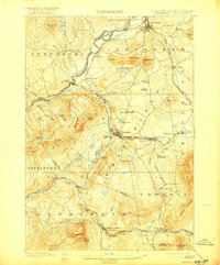
1900 Map of Whitefield
USGS Topo · Published 1916About this map
The Connecticut River serves as the dividing line between New Hampshire and Vermont in this late 19th-century landscape, where the rugged terrain of Coos and Grafton counties met the industrial expansion of the railroad. The Maine Central R.R. and Boston and Maine R.R. created a complex web of transport, converging at significant hubs like Whitefield Junction and Quebec Junction. This network supported a flourishing seasonal economy, evidenced by the presence of large Victorian-era retreats like the Mount View House and Overlook House. Between the growing village of Whitefield and the resort-heavy area of Bethlehem, the map documents a transition from traditional river-valley settlements to a mountain tourism destination. Smaller locales like South Lunenburg and Dalton Station appear alongside numerous family-named peaks such as Agassiz Mt. and Bray Hill, providing a granular view of the region's topography before modern development.
Find a feature on this map
85 named features on this map. Tap any name to fly to it.
Don’t see what you’re looking for? This feature index may not catch every label — zoom into the map to look around manually.
Map Details
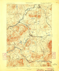
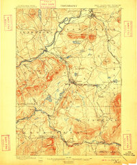
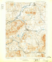
Editions of this 1900 Whitefield Map
5 editions found
Other maps of this area

1893 · Mt. Washington
USGS Topo · 1:62,500

1895 · Crawford Notch
USGS Topo · 1:62,500

1896 · Mt. Washington
USGS Topo · 1:62,500

1896 · Crawford Notch
USGS Topo · 1:62,500

1900 · Whitefield
USGS Topo · 1:62,500

1920 · Guildhall
USGS Topo · 1:62,500

1929 · Moosilauke
USGS Topo · 1:62,500

1929 · Franconia
USGS Topo · 1:62,500

1930 · Percy
USGS Topo · 1:62,500

1931 · Guildhall
USGS Topo · 1:48,000