
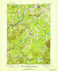
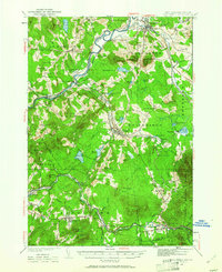
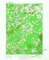
1935 Map of Whitefield
USGS Topo · Published 1935About this map
The Connecticut River serves as the primary geographical divider in this mid-1930s survey, marking the state boundary between Vermont and New Hampshire. On the New Hampshire side, the industrial and transport hub of Whitefield sits at the crossing of the Boston and Maine Railroad and the Maine Central Railroad. The map captures the region's complex rail network just as several branch lines, such as the segment near Lancaster, were labeled as Maine Central Railroad (Abandoned).
Find a feature on this map
127 named features on this map. Tap any name to fly to it.
Don’t see what you’re looking for? This feature index may not catch every label — zoom into the map to look around manually.
Map Details
Editions of this 1935 Whitefield Map
4 editions found
Other maps of this area

1893 · Mt. Washington
USGS Topo · 1:62,500

1895 · Crawford Notch
USGS Topo · 1:62,500

1896 · Mt. Washington
USGS Topo · 1:62,500

1896 · Crawford Notch
USGS Topo · 1:62,500

1900 · Whitefield
USGS Topo · 1:62,500

1920 · Guildhall
USGS Topo · 1:62,500

1929 · Moosilauke
USGS Topo · 1:62,500

1929 · Franconia
USGS Topo · 1:62,500

1930 · Percy
USGS Topo · 1:62,500

1931 · Guildhall
USGS Topo · 1:48,000