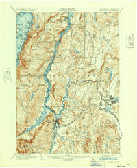
1902 Map of Whitehall
USGS Topo · Published 1942About this map
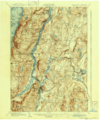
Whitehall serves as the focal point of this topographic study, positioned at the critical junction where the Mettawee River meets the southern reach of Lake Champlain. The landscape reflects a complex transition in New York's maritime history, showing both the modern Barge Canal and segments of the Champlain Canal (Abandoned) winding through the valley. These artificial waterways, flanked by the Delaware and Hudson R.R., emphasize the corridor's role as a vital transport link between the Hudson Valley and the north. To the west, the map reaches the shores of Lake George at Hague, while the eastern boundary tracks the Poultney River along the Vermont border. Small transport hubs like Putnam Station, Dresden Station, and Chubbs Dock illustrate how the shoreline was once punctuated by active rail and water transfers for local industry and agriculture.
Find a feature on this map
98 named features on this map. Tap any name to fly to it.
Don’t see what you’re looking for? This feature index may not catch every label — zoom into the map to look around manually.
Map Details
Editions of this 1902 Whitehall Map
10 editions found

1902 edition
15.91 x 19.72 inches
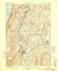
1905 edition
16.6 x 20.1 inches
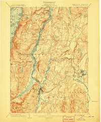
1907 edition
16.6 x 20.1 inches
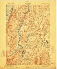
1911 edition
16.6 x 20.1 inches
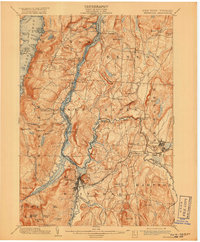
1918 edition
16.6 x 20.1 inches
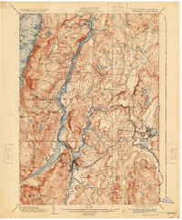
1925 edition
16.6 x 20.1 inches
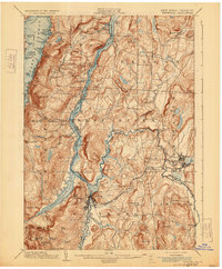
1929 edition
16.6 x 20.1 inches
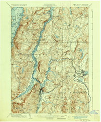
1936 edition
16.6 x 20.1 inches
1942 edition
17 x 20.8 inches
1942 edition
16.6 x 20.1 inches
Other maps of this area

1893 · Fort Ann
USGS Topo · 1:62,500

1893 · Whitehall
USGS Topo · 1:62,500

1894 · Ticonderoga
USGS Topo · 1:62,500

1894 · Pawlet
USGS Topo · 1:62,500

1895 · Whitehall
USGS Topo · 1:62,500

1895 · Fort Ann
USGS Topo · 1:62,500

1895 · Paradox Lake
USGS Topo · 1:62,500

1895 · Glens Falls
USGS Topo · 1:62,500

1895 · Castleton
USGS Topo · 1:62,500

1896 · Ticonderoga
USGS Topo · 1:62,500