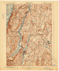
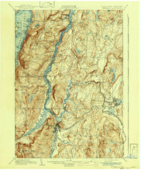
1902 Map of Whitehall
USGS Topo · Published 1929About this map
The waters of Lake Champlain and the Champlain Canal define the industrial and transport character of this border region between New York and Vermont. Centered on Whitehall, the map reveals a landscape heavily influenced by the convergence of rail and water, where the Delaware and Hudson R. R. and the Rutland R. R. intersect near the Mettawee River. The surveying captures many small landing points and stations that served the late 19th-century economy, including Benson Landing, Chubbs Dock, and Dresden Station.
Find a feature on this map
92 named features on this map. Tap any name to fly to it.
Don’t see what you’re looking for? This feature index may not catch every label — zoom into the map to look around manually.
Map Details
Editions of this 1902 Whitehall Map
10 editions found

1902 edition
15.91 x 19.72 inches
1905 edition
16.6 x 20.1 inches
1907 edition
16.6 x 20.1 inches
1911 edition
16.6 x 20.1 inches
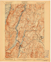
1918 edition
16.6 x 20.1 inches
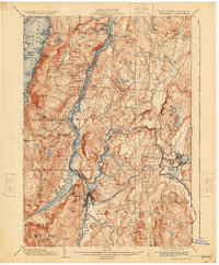
1925 edition
16.6 x 20.1 inches
1929 edition
16.6 x 20.1 inches
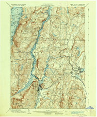
1936 edition
16.6 x 20.1 inches
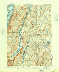
1942 edition
17 x 20.8 inches
1942 edition
16.6 x 20.1 inches
Other maps of this area

1893 · Fort Ann
USGS Topo · 1:62,500

1893 · Whitehall
USGS Topo · 1:62,500

1894 · Ticonderoga
USGS Topo · 1:62,500

1894 · Pawlet
USGS Topo · 1:62,500

1895 · Whitehall
USGS Topo · 1:62,500

1895 · Fort Ann
USGS Topo · 1:62,500

1895 · Paradox Lake
USGS Topo · 1:62,500

1895 · Glens Falls
USGS Topo · 1:62,500

1895 · Castleton
USGS Topo · 1:62,500

1896 · Ticonderoga
USGS Topo · 1:62,500