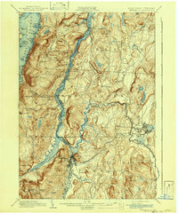
1902 Map of Whitehall
USGS Topo · Published 1942About this map
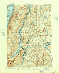
Whitehall stands at the strategic nexus of New York and Vermont, where the Champlain Canal and Barge Canal converge near the southern tip of Lake Champlain. The landscape is dominated by the narrow, mountain-flanked waters of South Bay and the dramatic relief of Bald Mountain and Skene Mt., which loom over the industrial and transport corridors. The mapping illustrates a complex network of 19th-century infrastructure, including the Champlain Division Delaware and Hudson R. R. and the Rutland R. R. that facilitated trade between the Hudson Valley and the north.
Find a feature on this map
92 named features on this map. Tap any name to fly to it.
Don’t see what you’re looking for? This feature index may not catch every label — zoom into the map to look around manually.
Map Details
Editions of this 1902 Whitehall Map
10 editions found

1902 edition
15.91 x 19.72 inches
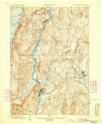
1905 edition
16.6 x 20.1 inches
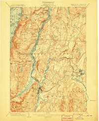
1907 edition
16.6 x 20.1 inches
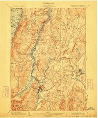
1911 edition
16.6 x 20.1 inches
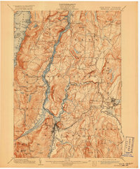
1918 edition
16.6 x 20.1 inches
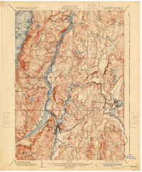
1925 edition
16.6 x 20.1 inches
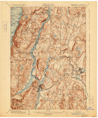
1929 edition
16.6 x 20.1 inches
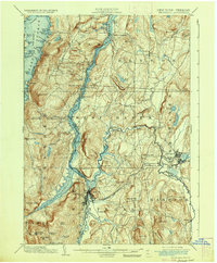
1936 edition
16.6 x 20.1 inches
1942 edition
17 x 20.8 inches
1942 edition
16.6 x 20.1 inches
Other maps of this area

1893 · Fort Ann
USGS Topo · 1:62,500

1893 · Whitehall
USGS Topo · 1:62,500

1894 · Ticonderoga
USGS Topo · 1:62,500

1894 · Pawlet
USGS Topo · 1:62,500

1895 · Whitehall
USGS Topo · 1:62,500

1895 · Fort Ann
USGS Topo · 1:62,500

1895 · Paradox Lake
USGS Topo · 1:62,500

1895 · Glens Falls
USGS Topo · 1:62,500

1895 · Castleton
USGS Topo · 1:62,500

1896 · Ticonderoga
USGS Topo · 1:62,500