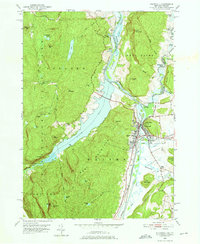
1950 Map of Whitehall
USGS Topo · Published 1966About this map
Whitehall stands as the central hub of this mid-century landscape, positioned at the strategic confluence of the Mettawee River, Wood Creek, and the Champlain Canal. The town's industrial and transport identity is clearly defined by the Delaware and Hudson railroad tracks and the waterway infrastructure that links Lake Champlain to the interior. To the west, the rugged terrain of Adirondack Park rises sharply, where local history is etched into the landscape at Black Lead Hill and the Hooper Mine.
Find a feature on this map
68 named features on this map. Tap any name to fly to it.
Don’t see what you’re looking for? This feature index may not catch every label — zoom into the map to look around manually.
Map Details
Editions of this 1950 Whitehall Map
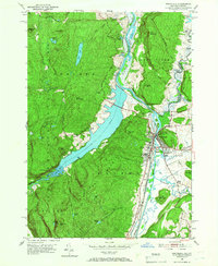
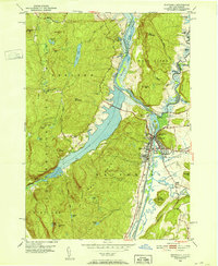
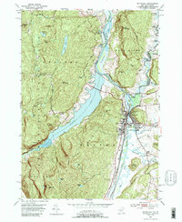
4 editions found
Other maps of this area

1893 · Fort Ann
USGS Topo · 1:62,500

1893 · Whitehall
USGS Topo · 1:62,500

1895 · Whitehall
USGS Topo · 1:62,500

1895 · Fort Ann
USGS Topo · 1:62,500

1895 · Glens Falls
USGS Topo · 1:62,500

1897 · Bolton
USGS Topo · 1:62,500

1897 · Glens Falls
USGS Topo · 1:62,500

1898 · Whitehall
USGS Topo · 1:62,500

1898 · Fort Ann
USGS Topo · 1:62,500

1900 · Bolton
USGS Topo · 1:62,500