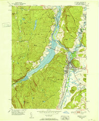
1950 Map of Whitehall
USGS Topo · Published 1975About this map
Whitehall serves as a critical junction for New York's historic transit corridors, situated where the Mettawee River meets the expansive South Bay. This 1950 field-checked survey highlights the complex waterways of the region, including the Delaware and Hudson Canal (Abandoned) running parallel to the active Delaware and Hudson RR. The terrain is dominated by the steep rises of Whitehall Mountain and Skene Mtn, which frame the town and its industrial infrastructure, such as the local Substation and Whitehall Reservoir.
Find a feature on this map
63 named features on this map. Tap any name to fly to it.
Don’t see what you’re looking for? This feature index may not catch every label — zoom into the map to look around manually.
Map Details
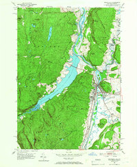
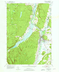
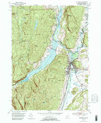
Editions of this 1950 Whitehall Map
4 editions found
Other maps of this area

1893 · Fort Ann
USGS Topo · 1:62,500

1893 · Whitehall
USGS Topo · 1:62,500

1895 · Whitehall
USGS Topo · 1:62,500

1895 · Fort Ann
USGS Topo · 1:62,500

1895 · Glens Falls
USGS Topo · 1:62,500

1897 · Bolton
USGS Topo · 1:62,500

1897 · Glens Falls
USGS Topo · 1:62,500

1898 · Whitehall
USGS Topo · 1:62,500

1898 · Fort Ann
USGS Topo · 1:62,500

1900 · Bolton
USGS Topo · 1:62,500