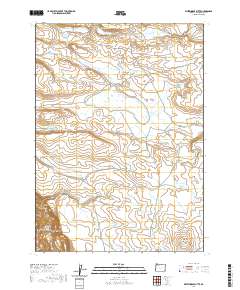
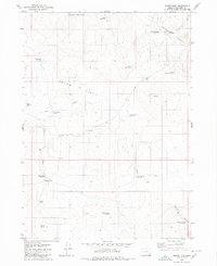
2020 Map of Whitehorse Butte
USGS Topo · Published 2020About this map
Owyhee River flows through the deep southwest corner of this high-desert landscape in Malheur County, carving the Owyhee Canyon near the historic Deary Pasture. The 2020 map documents an intricate network of livestock water management features across a landscape dominated by basalt ridges and ephemeral drainage basins. Named reservoirs like Seldom Reservoir, Slipper Reservoir, and Deary Reservoir highlight the necessity of water storage in this arid environment. Significant topographic features such as Horse Ridge and the prominent Whitehorse Butte define the horizon, while drainage is handled by systems like Mud Flat Creek and Soldier Cr. The presence of Arritola Place Rd and Three Forks Rd provides the primary access through this remote cattle country, connecting scattered points like Groundhog Falls and the Rim Basin.
Find a feature on this map
37 named features on this map. Tap any name to fly to it.
Don’t see what you’re looking for? This feature index may not catch every label — zoom into the map to look around manually.
Map Details
Editions of this 2020 Whitehorse Butte Map
This is the sole edition of this map. No revisions or reprints were ever made.
Other maps of this area

1955 · Jordan Valley
USGS Topo · 1:250,000

1957 · Jordan Valley
USGS Topo · 1:250,000

1958 · Jordan Valley
USGS Topo · 1:250,000
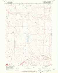
1969 · Little Grassy Mountain
USGS Topo · 1:24,000
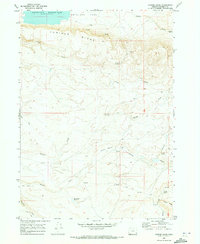
1969 · Juniper Ridge
USGS Topo · 1:24,000

1980 · Brewster Reservoir
USGS Topo · 1:24,000
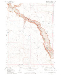
1980 · Skull Creek
USGS Topo · 1:24,000

1980 · Three Forks
USGS Topo · 1:24,000

1980 · Juniper Point
USGS Topo · 1:24,000
1980 · Squaw Flat
USGS Topo · 1:24,000