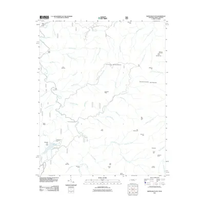
2011 Map of Whiteoak Flats
USGS Topo · Published 2011About this map
Whiteoak Flats and Citico sit at the heart of this mountain landscape, where the drainage of Citico Creek is fed by numerous named branches like Bear Branch, Jake Best Creek, and Tavern Branch. The topography is defined by significant elevations and gaps, including Tallassee Mountain Haw Knob Number One, Salt Spring Mountain, and Ikes Peak. The presence of the Cold Spring Lookout Tower suggests a history of forest surveillance and fire management in this densely wooded area of Monroe County.
Find a feature on this map
70 named features on this map. Tap any name to fly to it.
Don’t see what you’re looking for? This feature index may not catch every label — zoom into the map to look around manually.
Map Details
Editions of this 2011 Whiteoak Flats Map
This is the sole edition of this map. No revisions or reprints were ever made.
Other maps of this area

1886 · Knoxville
USGS Topo · 1:125,000

1892 · Knoxville
USGS Topo · 1:125,000

1893 · Murphy
USGS Topo · 1:125,000

1894 · Knoxville
USGS Topo · 1:125,000

1895 · Loudon
USGS Topo · 1:125,000

1895 · Knoxville
USGS Topo · 1:125,000

1901 · Knoxville
USGS Topo · 1:125,000

1914 · Murphy
USGS Topo · 1:125,000

1927 · Big Junction
USGS Topo · 1:24,000

1933 · Haw Knob
USGS Topo · 1:48,000