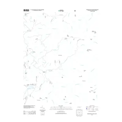
2013 Map of Whiteoak Flats
USGS Topo · Published 2013About this map
Citico and the surrounding wilderness of Monroe County are defined here by a network of creeks and ridges. The presence of Indian Boundary Lake and the Indian Boundary Recreation Area marks this as a destination for outdoor activity, supported by sites like Jake Best Campground and Doublecamp Campground. The landscape is a complex system of drainage and elevation, where Citico Cr is fed by numerous tributaries including Tavern Br, Burnt Station Br, and Gold Cabin Br.
Find a feature on this map
77 named features on this map. Tap any name to fly to it.
Don’t see what you’re looking for? This feature index may not catch every label — zoom into the map to look around manually.
Map Details
Editions of this 2013 Whiteoak Flats Map
This is the sole edition of this map. No revisions or reprints were ever made.
Other maps of this area

1886 · Knoxville
USGS Topo · 1:125,000

1892 · Knoxville
USGS Topo · 1:125,000

1893 · Murphy
USGS Topo · 1:125,000

1894 · Knoxville
USGS Topo · 1:125,000

1895 · Loudon
USGS Topo · 1:125,000

1895 · Knoxville
USGS Topo · 1:125,000

1901 · Knoxville
USGS Topo · 1:125,000

1914 · Murphy
USGS Topo · 1:125,000

1927 · Big Junction
USGS Topo · 1:24,000

1933 · Haw Knob
USGS Topo · 1:48,000