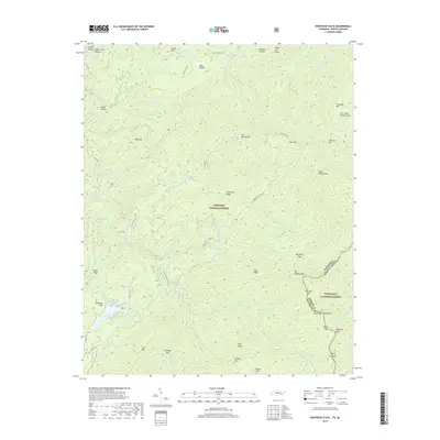
2019 Map of Whiteoak Flats
USGS Topo · Published 2019About this map
Citico Creek and its many tributaries, such as Little Citico Cr and S Fork Citico Cr, carve through the deep ridgelines of the Unicoi Mountains in this 2019 survey. This high-country landscape is defined by the intersection of the Cherokee National Forest and Nantahala National Forest, where the Tennessee North Carolina state line follows the crest of the range. Local topography is marked by distinctive named peaks like Big Fodderstack and Jeffrey Hell, alongside established crossings like Farr Gap and Harrison Gap.
Find a feature on this map
81 named features on this map. Tap any name to fly to it.
Don’t see what you’re looking for? This feature index may not catch every label — zoom into the map to look around manually.
Map Details
Editions of this 2019 Whiteoak Flats Map
This is the sole edition of this map. No revisions or reprints were ever made.
Other maps of this area

1886 · Knoxville
USGS Topo · 1:125,000

1892 · Knoxville
USGS Topo · 1:125,000

1893 · Murphy
USGS Topo · 1:125,000

1894 · Knoxville
USGS Topo · 1:125,000

1895 · Loudon
USGS Topo · 1:125,000

1895 · Knoxville
USGS Topo · 1:125,000

1901 · Knoxville
USGS Topo · 1:125,000

1914 · Murphy
USGS Topo · 1:125,000

1927 · Big Junction
USGS Topo · 1:24,000

1933 · Haw Knob
USGS Topo · 1:48,000