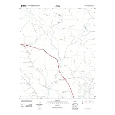
2010 Map of Whites Creek
USGS Topo · Published 2010About this map
Dividing Ridge and Paradise Ridge anchor the northern landscape of this region, where the terrain breaks into numerous hollows and creek branches. In the northwest, the Joelton Post Office and Joelton Cemetery serve as local landmarks near the sharp curve known as Devils Elbow. The area is marked by a network of family-named topographic features such as Johnson Hollow, Bennett Hollow, and Bear Hollow, reflecting long-standing local ties to the land. Moving south, the settlement of Germantown and the Whites Creek Post Office provide commercial and civic focal points.
Find a feature on this map
75 named features on this map. Tap any name to fly to it.
Don’t see what you’re looking for? This feature index may not catch every label — zoom into the map to look around manually.
Map Details
Editions of this 2010 Whites Creek Map
This is the sole edition of this map. No revisions or reprints were ever made.
Other maps of this area

1903 · Nashville
USGS Topo · 1:125,000

1931 · Ridgetop
USGS Topo · 1:62,500

1932 · Hermitage
USGS Topo · 1:62,500

1932 · Nashville
USGS Topo · 1:62,500

1935 · Ridgetop
USGS Topo · 1:62,500

1942 · Gallatin
USGS Topo · 1:100,000

1942 · Lebanon
USGS Topo · 1:100,000

1952 · Goodlettsville
USGS Topo · 1:24,000

1952 · Nashville West
USGS Topo · 1:24,000

1952 · Nashville East
USGS Topo · 1:24,000