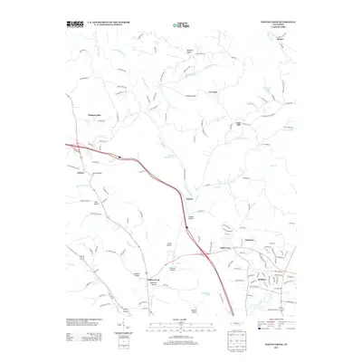
2013 Map of Whites Creek
USGS Topo · Published 2013About this map
Whites Creek and the surrounding hills of northwest Davidson County are defined by a complex network of ridges and hollows that historically dictated settlement patterns. The landscape is marked by prominent high points like Paradise Ridge and Dividing Ridge, which overlook a series of family-named hollows including Kaufman Hollow, Johnson Hollow, and Prock Hollow. These topographical features created distinct, localized communities at Lickton, Joelton, and Union Hill.
Find a feature on this map
137 named features on this map. Tap any name to fly to it.
Don’t see what you’re looking for? This feature index may not catch every label — zoom into the map to look around manually.
Map Details
Editions of this 2013 Whites Creek Map
This is the sole edition of this map. No revisions or reprints were ever made.
Other maps of this area

1903 · Nashville
USGS Topo · 1:125,000

1931 · Ridgetop
USGS Topo · 1:62,500

1932 · Hermitage
USGS Topo · 1:62,500

1932 · Nashville
USGS Topo · 1:62,500

1935 · Ridgetop
USGS Topo · 1:62,500

1942 · Gallatin
USGS Topo · 1:100,000

1942 · Lebanon
USGS Topo · 1:100,000

1952 · Goodlettsville
USGS Topo · 1:24,000

1952 · Nashville West
USGS Topo · 1:24,000

1952 · Nashville East
USGS Topo · 1:24,000