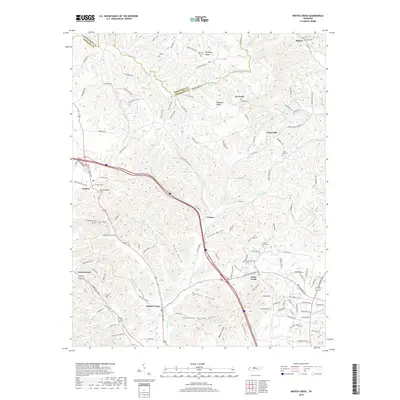
2019 Map of Whites Creek
USGS Topo · Published 2019About this map
Paradise Ridge and the Dividing Ridge define the elevated terrain north of Nashville, where the Robertson and Davidson county line follows the winding crests. This 2019 survey documents a landscape defined by deep hollows and narrow valleys, such as Prock Hollow, Bennett Hollow, and Kaufman Hollow, which carry tributaries toward the main channel of Whites Creek. The settlement pattern is anchored by small communities like Joelton and Union Hill, each associated with family and community burial grounds including Joelton Cem, Dukes Cem, and Beech Grove Cem.
Find a feature on this map
136 named features on this map. Tap any name to fly to it.
Don’t see what you’re looking for? This feature index may not catch every label — zoom into the map to look around manually.
Map Details
Editions of this 2019 Whites Creek Map
This is the sole edition of this map. No revisions or reprints were ever made.
Other maps of this area

1903 · Nashville
USGS Topo · 1:125,000

1931 · Ridgetop
USGS Topo · 1:62,500

1932 · Hermitage
USGS Topo · 1:62,500

1932 · Nashville
USGS Topo · 1:62,500

1935 · Ridgetop
USGS Topo · 1:62,500

1942 · Gallatin
USGS Topo · 1:100,000

1942 · Lebanon
USGS Topo · 1:100,000

1952 · Goodlettsville
USGS Topo · 1:24,000

1952 · Nashville West
USGS Topo · 1:24,000

1952 · Nashville East
USGS Topo · 1:24,000