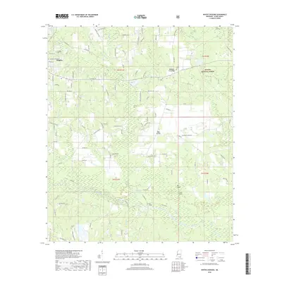
2018 Map of Whites Crossing
USGS Topo · Published 2018About this map
The timberlands and waterways of Stone County define this landscape, where the De Soto National Forest covers much of the eastern terrain. Wiggins serves as the primary hub in the northwest, situated near the Flint Cr Reservoir, while smaller rural settlements like Whites Crossing and Big Level are connected by a network of forest roads and country lanes. The drainage patterns are intricate, with Red Creek and its many tributaries, such as Schoolhouse Br and Bridge Cr, carving through the piney woods.
Find a feature on this map
110 named features on this map. Tap any name to fly to it.
Don’t see what you’re looking for? This feature index may not catch every label — zoom into the map to look around manually.
Map Details
Editions of this 2018 Whites Crossing Map
This is the sole edition of this map. No revisions or reprints were ever made.
Other maps of this area

1947 · Wiggins
USGS Topo · 1:62,500

1947 · Benndale
USGS Topo · 1:62,500

1949 · Wiggins
USGS Topo · 1:62,500

1949 · Benndale
USGS Topo · 1:62,500

1953 · Mobile
USGS Topo · 1:250,000

1954 · Vestry
USGS Topo · 1:62,500

1954 · McHenry
USGS Topo · 1:62,500

1957 · Mobile
USGS Topo · 1:250,000

1960 · Mobile
USGS Topo · 1:250,000

1963 · Mobile
USGS Topo · 1:250,000