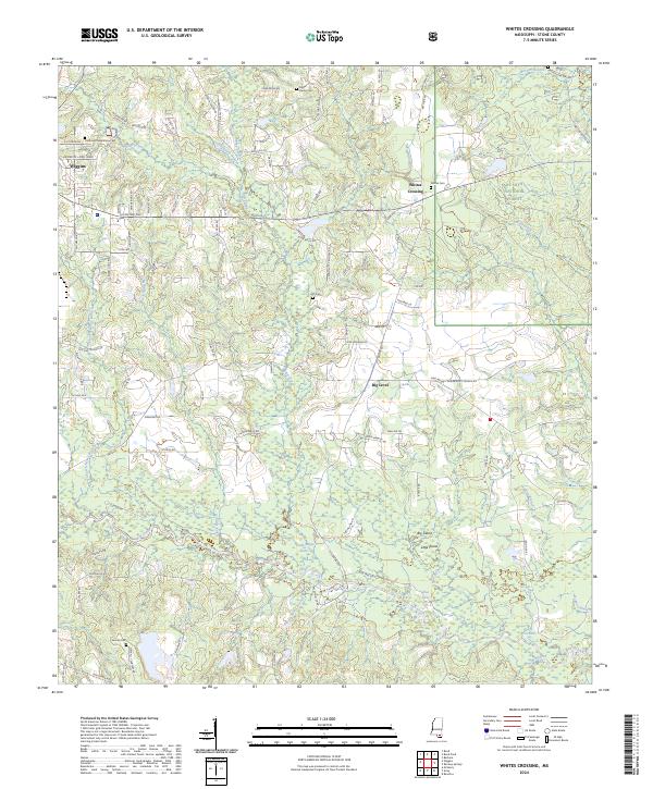
2024 Map of Whites Crossing
USGS Topo · Published 2024About this map
Red Creek meanders through the southern half of this landscape, carving a path between Big Island and Little Island before passing Blue Lake and Fish Lake. The area reflects a rural South Mississippi character where small communities like Whites Crossing and Big Level are defined by their proximity to the water and the wooded expanses of the De Soto National Forest. The geography is deeply tied to the local drainages, including Flint Creek and Black Branch, which influenced the placement of early road networks and family-named landmarks.
Find a feature on this map
144 named features on this map. Tap any name to fly to it.
Don’t see what you’re looking for? This feature index may not catch every label — zoom into the map to look around manually.
Map Details
Editions of this 2024 Whites Crossing Map
This is the sole edition of this map. No revisions or reprints were ever made.
Other maps of this area

1947 · Wiggins
USGS Topo · 1:62,500

1947 · Benndale
USGS Topo · 1:62,500

1949 · Wiggins
USGS Topo · 1:62,500

1949 · Benndale
USGS Topo · 1:62,500

1953 · Mobile
USGS Topo · 1:250,000

1954 · Vestry
USGS Topo · 1:62,500

1954 · McHenry
USGS Topo · 1:62,500

1957 · Mobile
USGS Topo · 1:250,000

1960 · Mobile
USGS Topo · 1:250,000

1963 · Mobile
USGS Topo · 1:250,000