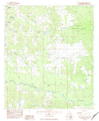
1983 Map of Whites Crossing
USGS Topo · Published 1984About this map
The De Soto National Forest covers much of the eastern landscape in this 1980s-era study of Stone County, defined by its intricate drainage systems and rural outposts. Small communities and junctions like Whites Crossing and India serve as focal points for a region deeply connected to its timber and agricultural roots. The terrain is marked by numerous family-named landmarks and institutions, including Whites Cem, Sumrall Cem, and the Stone Sch, which provide critical reference points for genealogists tracing residents in the vicinity of Wiggins.
Find a feature on this map
50 named features on this map. Tap any name to fly to it.
Don’t see what you’re looking for? This feature index may not catch every label — zoom into the map to look around manually.
Map Details
Editions of this 1983 Whites Crossing Map
This is the sole edition of this map. No revisions or reprints were ever made.
Other maps of this area

1947 · Wiggins
USGS Topo · 1:62,500

1947 · Benndale
USGS Topo · 1:62,500

1949 · Wiggins
USGS Topo · 1:62,500

1949 · Benndale
USGS Topo · 1:62,500

1953 · Mobile
USGS Topo · 1:250,000

1954 · Vestry
USGS Topo · 1:62,500

1954 · McHenry
USGS Topo · 1:62,500

1957 · Mobile
USGS Topo · 1:250,000

1960 · Mobile
USGS Topo · 1:250,000

1963 · Mobile
USGS Topo · 1:250,000