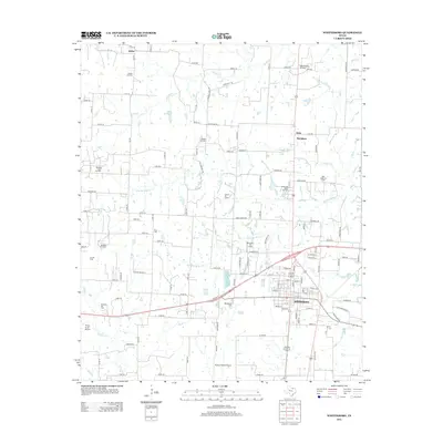
2013 Map of Whitesboro
USGS Topo · Published 2013About this map
The town of Whitesboro serves as the central hub of this North Texas survey, where the convergence of several major routes dictates the local geography. To the north and west, the landscape is defined by the extraction economy, featuring numerous named drilling areas including the Kimbell Sims Oil Field, Whitesboro Oil Field, and West Sandusky Oil Field. These sites illustrate the region's long-standing reliance on the petroleum industry, which exists alongside scattered rural settlements like Balm, Dixie, and Theodore.
Find a feature on this map
133 named features on this map. Tap any name to fly to it.
Don’t see what you’re looking for? This feature index may not catch every label — zoom into the map to look around manually.
Map Details
Editions of this 2013 Whitesboro Map
This is the sole edition of this map. No revisions or reprints were ever made.
Other maps of this area
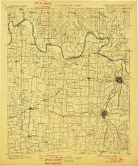
1901 · Denison
USGS Topo · 1:125,000
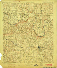
1902 · Gainesville
USGS Topo · 1:125,000
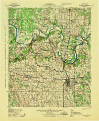
1943 · Gainesville
USGS Topo · 1:125,000

1954 · Sherman
USGS Topo · 1:250,000
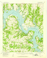
1958 · Gordonville
USGS Topo · 1:62,500
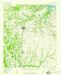
1958 · Whitesboro
USGS Topo · 1:62,500

1958 · Sherman
USGS Topo · 1:250,000
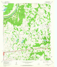
1960 · Callisburg
USGS Topo · 1:24,000
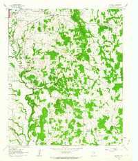
1960 · Woodbine
USGS Topo · 1:24,000
1968 · Horseshoe Bend
USGS Topo · 1:24,000